
Statement of Non-Discrimination
Warren County Soil & Water Conservation District’s programs are prohibited from discriminating based on race, color, national origin, religion, sex, gender identity (including gender expression), sexual orientation, disability, age, marital status, family/parental status, income derived from a public assistance program, political beliefs, or reprisal or retaliation for prior civil rights activity.
______________________________________________
Programs
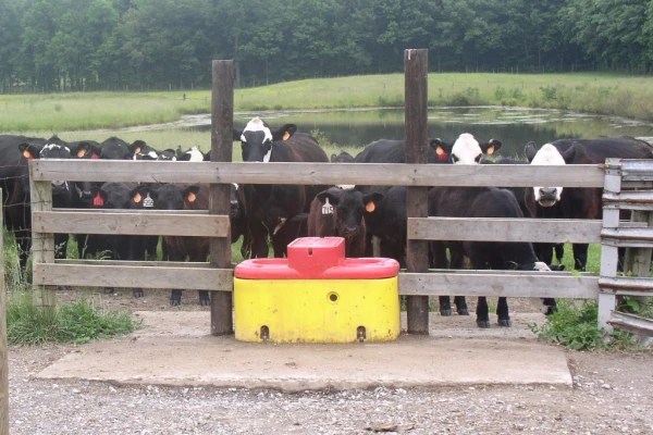
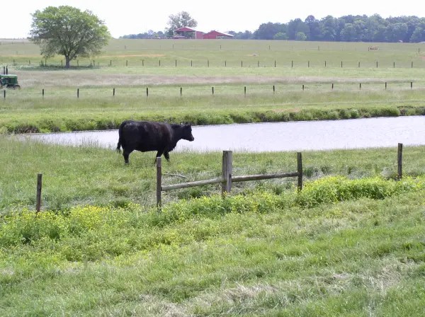
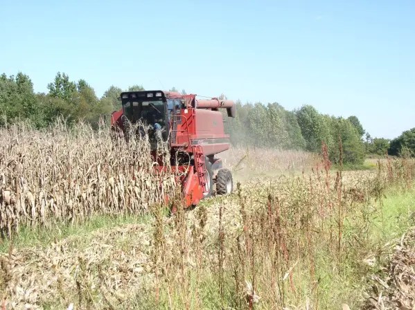
The Soil & Water Conservation District in partnership with the Natural Resource Conservation Service (NRCS), and Tennessee Department of Agriculture (TDA) offer several cost-share assistance programs to landowners and operators in Warren County. You may apply for all programs listed below concerning land in Warren County within our office.
For assistance or further information give us a call at 931-668-4383 ext. 3 or click the pictures to be redirected to the NRCS and State websites.
Agricultural Resources Conservation Fund (ARCF)
The ARCF provides cost-share assistance to Tennessee landowners/operators to install Best Management Practices (BMPs) that reduce agricultural water pollution. A wide range of BMPs are available for cost-share, from those that curtail soil erosion to those that help to remove pollutants from water runoff from agricultural operations. Landowners are eligible to receive up to 75% of the cost of a BMP installation.
Environmental Quality Incentives Program (EQIP)
EQIP is a voluntary conservation program that provides financial and technical assistance to farmers and ranchers who face threats to soil, water, air and other natural resources on their cropland, rangeland, pastureland, private non-industrial forestland, and other farm or ranch lands that are eligible for the program. The NRCS develops contracts with producers to implement practices to address these problems. Payments are made to producers once conservation practices are completed accordingly.
Conservation Stewardship Program (CSP)
Conservation Stewardship Program (CSP) is a voluntary program that encourages agricultural and forestry producers to address resource concerns by (1) undertaking additional conservation activities and (2) improving and maintaining existing conservation systems. CSP provides financial and technical assistance to help land stewards conserve and enhance soil, water, air, and related natural resources on their land.
Conservation Reserve Program (CRP)
CRP provides assistance to eligible farmers and ranchers. It helps them address soil, water, and related natural resource concerns on their lands. This assistance is provided in an environmentally beneficial and cost-effective manner. It encourages farmers to convert highly erodible cropland to vegetative cover. This cover includes tame or native grass, wildlife plantings, trees, filter strips, or riparian buffers. Funded through the Commodity Credit Corporation (CCC), the FSA administers while NRCS provides land eligibility determinations, planning, and implementation. Farmers receive an annual rental payment for the term of the multi-year contract.
Agricultural Conservation Easement Program (ACEP)
The Agricultural Conservation Easement Program, Wetlands Reserve Easement (WRE) component is a voluntary program. It provides an opportunity for landowners to get financial assistance. This assistance is for enhancing wetlands in exchange for retiring marginal land from agricultural. ACEP provides assistance to eligible landowners to address wetland, wildlife habitat, soil, water, and related natural resource concerns on private lands in an environmentally beneficial and cost-effective manner.
____________________________________________________________________________
Services
The Warren County SWCD offers many services to our landowners and operators in addition to conservation programs.
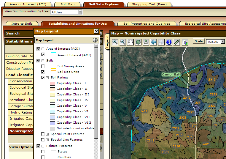
Soil Survey Information
The district has a completed soil survey book for Warren County and we can reproduce soils maps/information as needed and answer any questions you have about the tendencies of your soil. You can also visit http://www.websoilsurvey.nrcs.usda.gov/.

Topographical Maps
You may also access the topographical maps for Warren County in our office. The maps show contour lines and symbols that represent such features as streets, buildings, streams, swamps and woods.
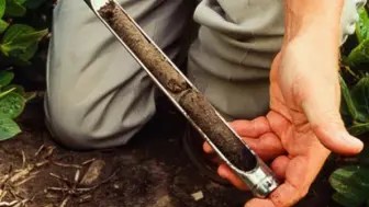
Soil Sampling
Information about soil testing is available at the Conservation District office. Whether it is a wildlife food plot, a farm field, or a garden, soils information is ESSENTIAL. Soil sample boxes are available at the Warren County UT Extension office. Don’t understand how to read soil test results? Let us help!
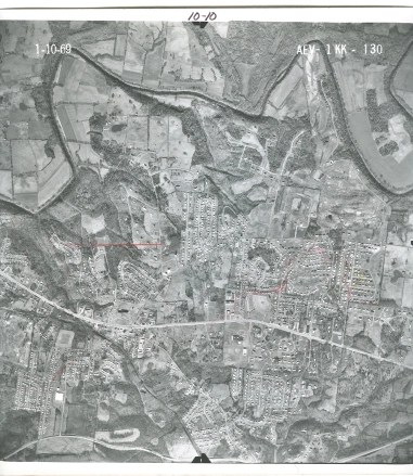
Historical/Archived Aerial Maps
The WCSCD has the following historical aerial maps available in our office to assist in environmental studies, urban development studies or historical data needs:
1967, 1977, 1985, 1987, 1988, and 1989
Please make an appointment to view these maps. Copies will be available if needed.
